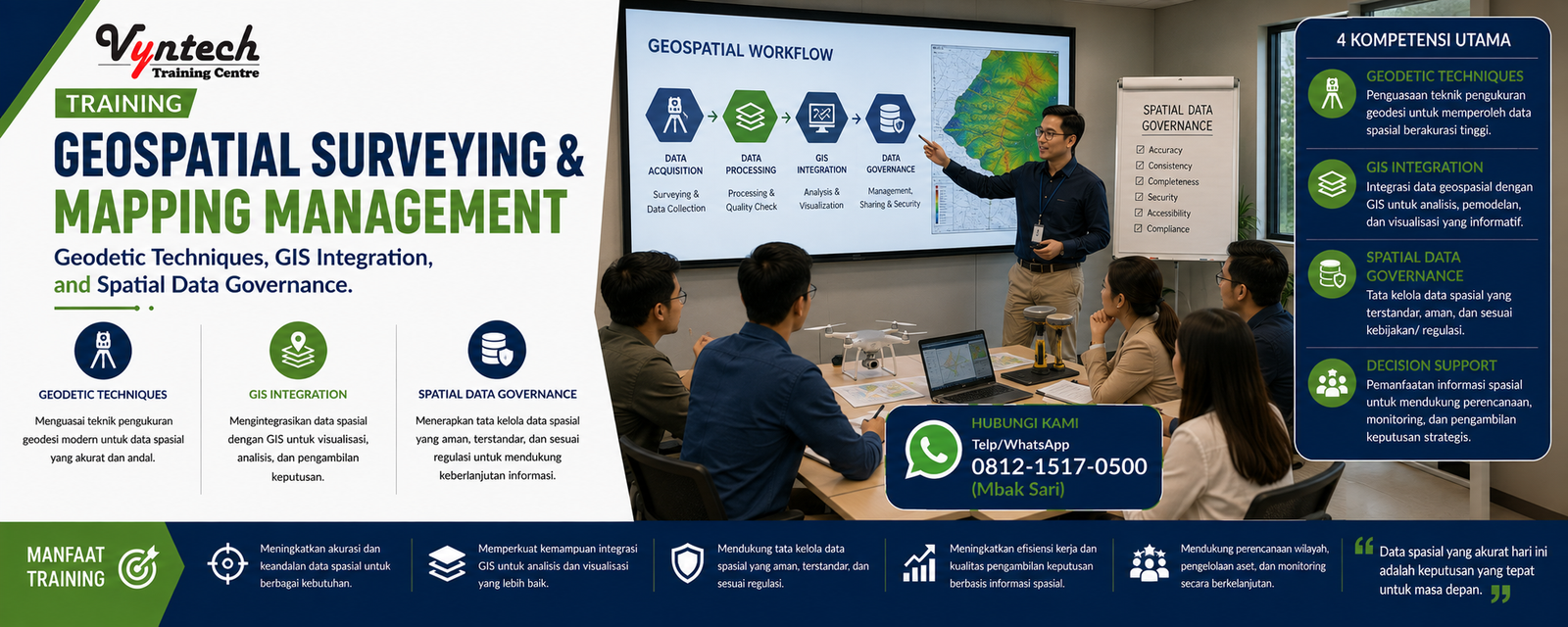
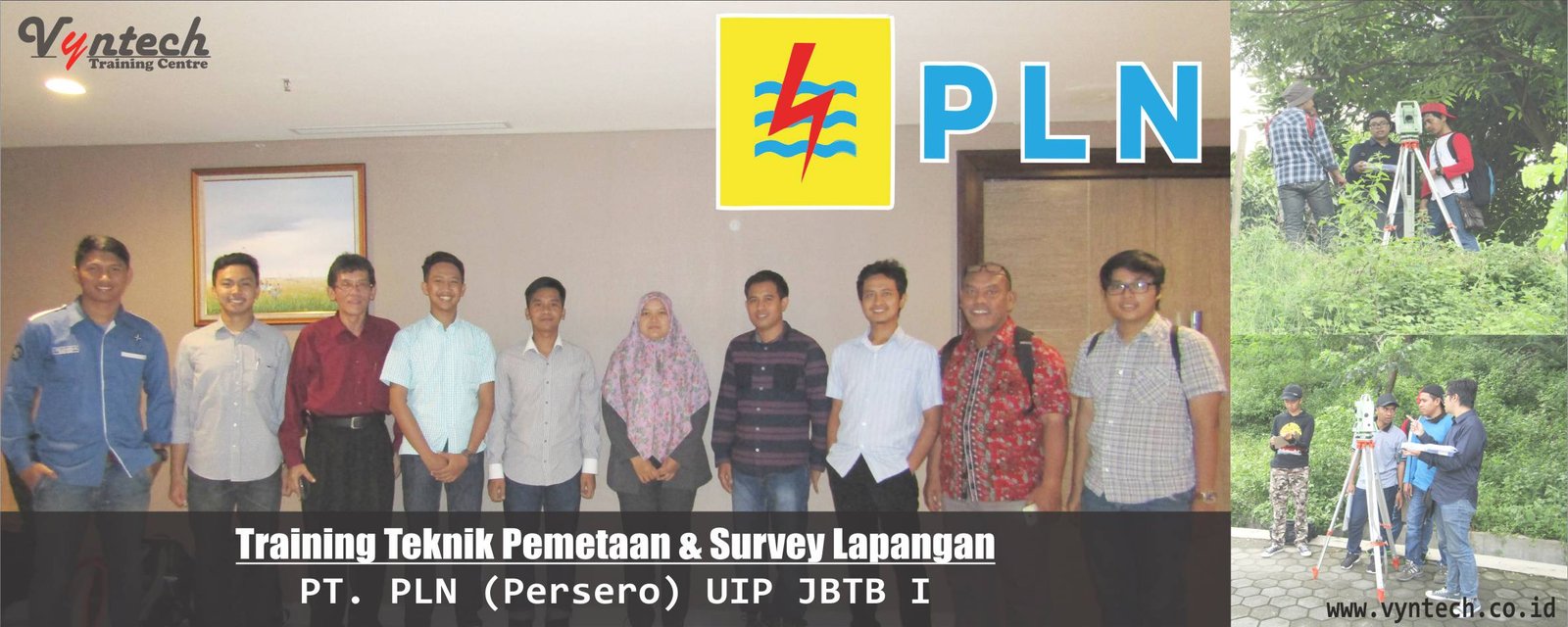
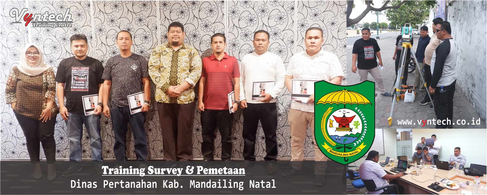
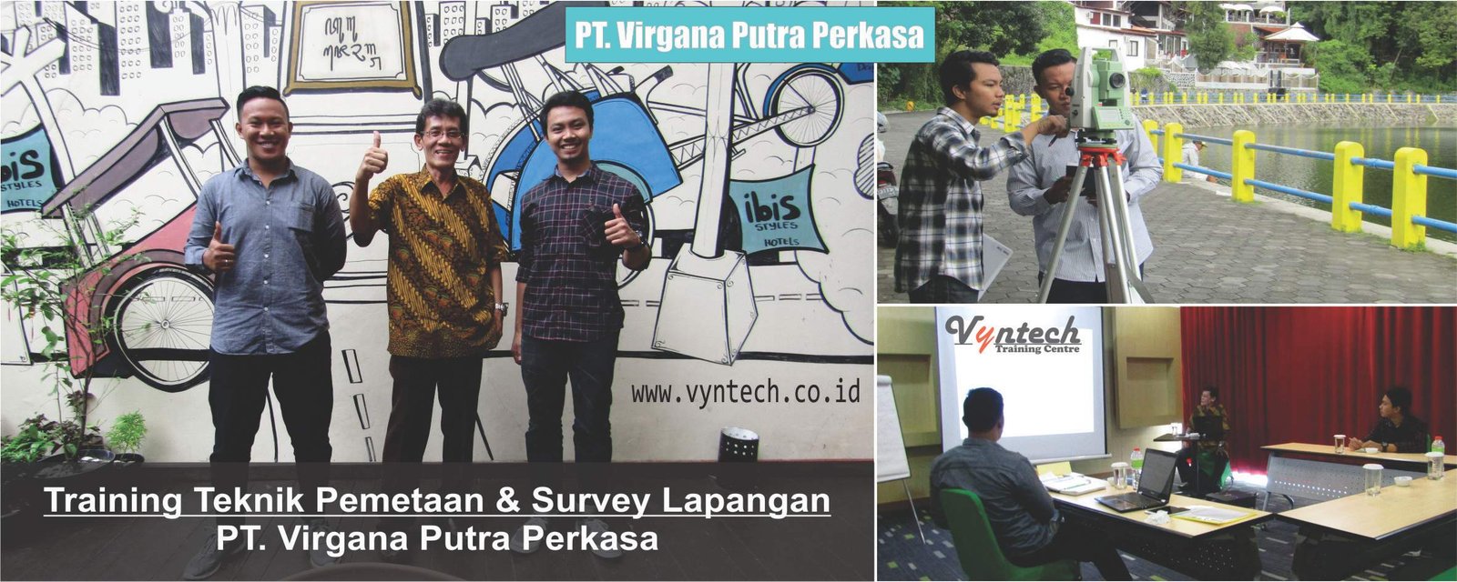
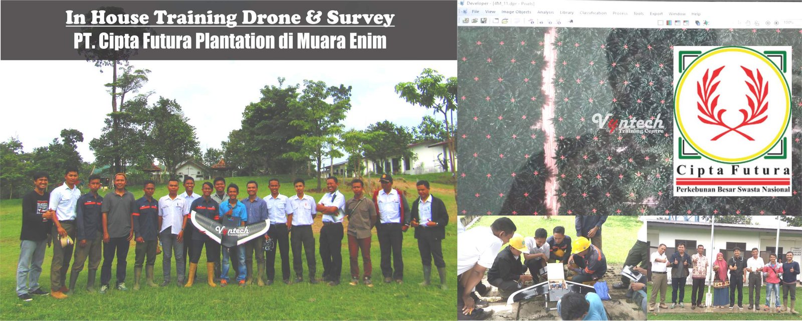
Silabus dalam bahasa indonesia ⇒ Training Geospatial Surveying & Mapping Management: Geodetic Techniques, GIS Integration, and Spatial Data Governance
Course Overview
The availability of accurate, up-to-date, and integrated spatial data is a fundamental key in development planning, natural resource management, infrastructure development, as well as mining and plantation operations. Geospatial surveying and mapping management extends beyond raw field data collection; it encompasses end-to-end spatial data governance—ranging from methodology planning, data acquisition (terrestrial, UAV/drone photogrammetry, LiDAR, and satellite), data processing, to seamless integration into Geographic Information Systems (GIS).
The Geospatial Surveying & Mapping Management: Advanced Geodetic Techniques, GIS Integration, and Spatial Data Governance training program is specially designed to equip project managers, geodetic/geomatics engineers, and GIS practitioners with modern managerial and technical capabilities. Participants will master strategies for planning geospatial data acquisition, quality assurance/quality control (QA/QC), Digital Elevation Model (DEM) data processing, and spatial data infrastructure governance compliant with national and international standards.
Training Objectives
-
-
Understand fundamental geodetic principles, geodetic reference systems (SRS/SRGI), and spatial data governance regulations (One Map Policy).
-
Plan operational field acquisition for terrestrial surveying (Total Station, GNSS/GPS RTK) and photogrammetry extraction (UAV/Drone & LiDAR).
-
Master quality control (QA/QC) techniques and accuracy verification for horizontal and vertical spatial positioning.
-
Integrate field survey data into Geographic Information System (GIS) platforms and 3D spatial modeling (Spatial Database & WebGIS).
-
Understand field survey operational risk management, cost estimation, and the formulation of mapping Standard Operating Procedures (SOPs).
-
Course Outline
-
Fundamentals of Geodesy and Spatial Data Governance
-
National geodetic reference frame (SRGI 2013) and map projection systems (UTM, TM-3°).
-
Geospatial information regulations, the One Map Policy, and Geospatial Information Agency (BIG) standards.
-
-
Operational Planning and Field Survey Management
-
Selecting survey methodologies based on project requirements (construction, mining, forestry, cadastre).
-
Cost estimation, team allocation, logistics management, and field survey OHS risk mitigation.
-
-
Modern Terrestrial Data Acquisition Technologies
-
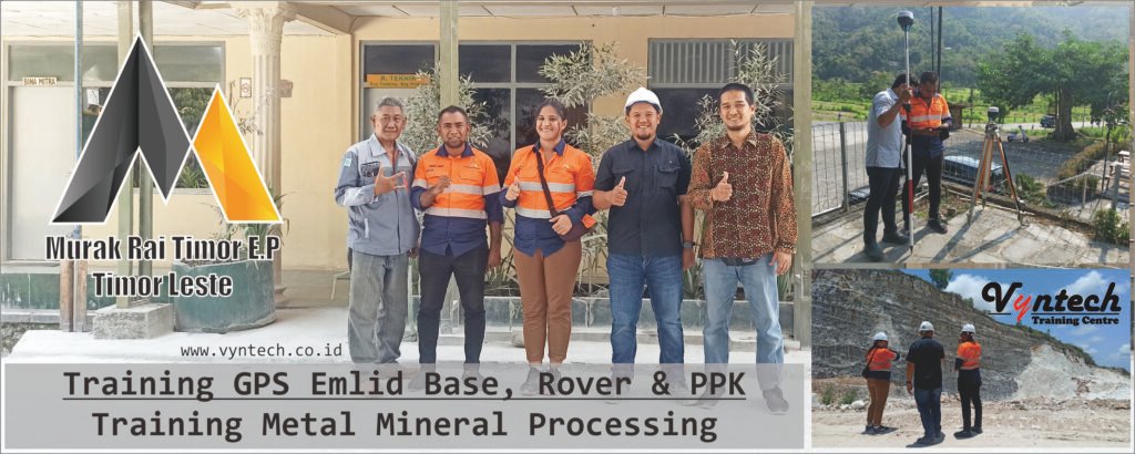
Operating Total Stations, Digital Levels, and Geodetic GNSS/GPS (RTK, PPK, Static methods).
-
Installing and measuring Geodetic Control Networks (JKG) and network adjustment calculations.
-
-
Aerial Surveying: UAV/Drone Photogrammetry and LiDAR
-
Flight planning, Ground Control Point (GCP) layout, and Independent Check Point (ICP) positioning.
-
Processing aerial photography data: Orthophoto generation, Digital Surface Model (DSM), and Digital Terrain Model (DTM).
-
Introduction to LiDAR technology for topographic mapping in dense vegetation areas.
-
-
GIS Spatial Data Processing and Management
-
Processing field survey data using GIS software suites (ArcGIS Pro, QGIS).
-
Designing spatial geodatabases, establishing data topology, and thematic cartography.
-
-
Quality Control and Spatial Accuracy Verification (QA/QC Mapping)
-
Map accuracy standards based on scale and positional precision limits (horizontal and vertical RMSE).
-
Testing and validating geospatial datasets prior to enterprise database integration.
-
-
3D Spatial Modeling and WebGIS/BIM Integration
-
Integrating mapping outputs with Building Information Modeling (BIM) systems and 3D Cadastre.
-
Visualizing and serving interactive web maps using WebGIS platforms for executive decision-making.
-
-
Technical Report Writing and Mapping SOP Formulation
-
Standard writing procedures for Survey Technical Reports.
-
Formulating Standard Operating Procedures (SOPs) for data acquisition, processing, and archiving.
-
-
Corporate Spatial Data Infrastructure (CSDI) Governance
-
Managing access rights, spatial data security, and cross-departmental data interoperability.
-
Digital archiving and spatial metadata management based on ISO 19115.
-
-
Common Barriers and Operational Troubleshooting
-
Identifying challenges: Extreme weather, GPS multipath/canopy obstruction, coordinate datum misalignments, drone flight permitting, and topology errors.
-
Formulating operational troubleshooting strategies for field mapping challenges.
-
-
Case Studies and In-Depth Discussions
-
Case analyses of project planning failures caused by inaccurate spatial data.
-
Technical report reviews, GCP/orthophoto data sample evaluations, and interactive discussions on optimizing enterprise spatial data governance.
-
Key Benefits
-
-
Guaranteed Data Precision: Produce maps and spatial datasets featuring high precision compliant with technical standards.
-
Cost & Time Efficiency: Optimize mapping planning to minimize field survey budget overruns.
-
Seamless System Integration: Streamline data integration across GIS systems, project databases, and spatial web portals.
-
Regulatory Compliance: Ensure all mapping activities and drone flight permits conform to legal frameworks and official standards.
-
Enhanced Managerial Capacity: Equip supervisors and engineers with essential skills to lead survey teams and govern spatial data infrastructure.
-
Audience
-
-
Survey Managers, Chief Surveyors, and Geospatial Project Managers.
-
Geodetic Engineers, Geomatics Engineers, and GIS Specialists/Analysts.
-
Mining Engineers, Exploration Geologists, and Plantation Mapping Supervisors.
-
Civil Engineers, Site Engineers, and Infrastructure Planning Specialists.
-
Government Officials & Personnel from Ministry of ATR/BPN, BIG, Public Works (PUPR), and State-Owned Enterprises (BUMN).
-
Training Venues
-
-
Yogyakarta: Ibis Styles Hotel Yogyakarta
-
Bandung: Gino Feruci Hotel Bandung
-
Jakarta: Dreamtel Hotel Jakarta
-
Bali: Harris Seminyak Hotel Bali
-
Online Training* (Interactive Live via Zoom/Teams)
-
In House Training* (Customized training delivered directly at your company/agency location)
-
Facilities
-
-
Training Course Materials
-
Exclusive Training Kits
-
Coffee Break & Lunch
-
Official Certificate
-
Souvenir
-
Training Investment
Get a special offer (Special Corporate Rate/Group Discount) by contacting our Customer Service team.
👉 Click here to Chat via WhatsApp with Vyntech Customer Service
or please fill out the form below: