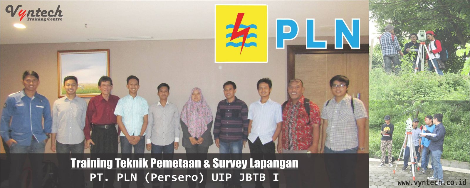
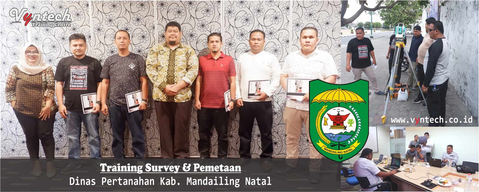
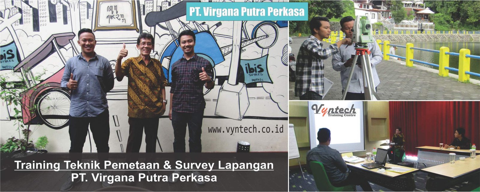
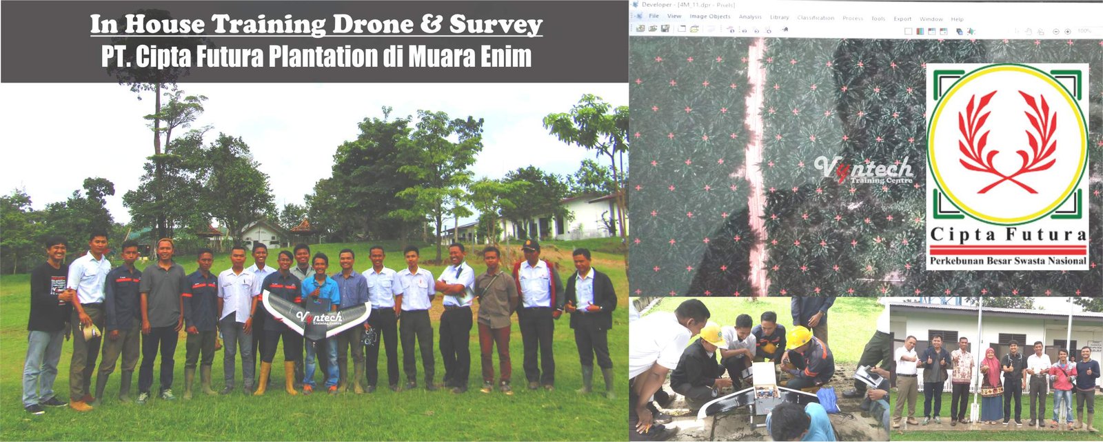
Silabus bahasa indonesia –> Training Topographic Mapping and Survey Toponymy: Geodesy, Land Surveying, GIS Integration, and Geographic Naming Standards
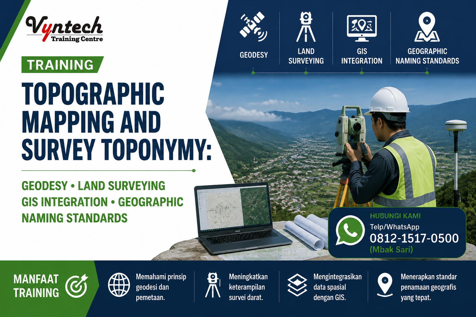
“Training Topographic Mapping and Survey Toponymy: Geodesy, Land Surveying, GIS Integration, and Geographic Naming Standards”
Description
Topographic mapping and toponymy surveys form the primary foundation for infrastructure development planning, regional spatial management, natural resource exploration, and national geospatial asset inventory. The availability of accurate topographic maps—equipped with valid and standardized toponymic elements (geographic names)—is essential for spatial analysis and preventing territorial boundary disputes.
This Topographic Mapping and Survey Toponymy: Geodesy, Land Surveying, GIS Integration, and Geographic Naming Standards training program is specifically designed to provide comprehensive technical knowledge and practical skills for surveyors, geodetic engineers, GIS analysts, and spatial planning managers. Participants will learn geodetic mapping principles, the operation of modern terrestrial instruments (Total Station, Geodetic GNSS/GPS), contour and relief data processing, field data collection and standardization of geographic names (toponymy) in compliance with national regulations, and spatial data integration into Geographic Information Systems (GIS).
Training Objectives
-
-
Understand the fundamentals of geodetic mapping, coordinate systems, precise datums, and topographic cartography.
-
Master terrestrial measurement techniques and Geodetic GNSS/GPS surveys for acquiring control points and elevation data.
-
Master survey data processing, Digital Elevation Model (DEM/DTM) generation, and contouring techniques.
-
Understand regulations, national standards, and methodologies for toponymy surveys (naming of natural and man-made topographic features).
-
Master procedures for field inventory, spelling verification, and field documentation of toponymic features in accordance with BIG (Geospatial Information Agency) guidelines.
-
Implement the integration of topographic and toponymic data into GIS software to deliver informative and official thematic maps.
-
Course Outline
-
Introduction to Topographic Mapping and Spatial Reference Systems
-
Fundamentals of geodesy, Earth’s shape (geoid & ellipsoid), and map projection systems (UTM, TM-3°).
-
Topographic cartography principles: scale, layout symbols, and accuracy tolerances for Indonesian Topographic Maps (Peta RBI).
-
-
Field Data Acquisition Instrumentation (Terrestrial & Satellite Surveying)
-
Operation of terrestrial surveying instruments: Total Station, Waterpass/Automatic Level.
-
Geodetic GNSS/GPS surveying: RTK (Real-Time Kinematic), Static methods, and CORS corrections for horizontal & vertical control networks.
-
-
Topographic Survey Methodology and Relief Mapping
-
Survey network planning, tie point determination, and map framework measurements (Polygons & Leveling).
-
Detailed topographic measurement techniques, spot height extraction, and contour line generation.
-
-
Spatial Data Processing and Digital Elevation Modeling (DEM/DTM)
-
Measurement error corrections (Least Squares Adjustment).
-
Digital Elevation Model (DEM) and Digital Terrain Model (DTM) creation, along with contour interpolation using geospatial software.
-
-
Fundamentals and Regulations of Toponymy Surveys (Geographic Naming Framework)
-
Definition, importance, and role of toponymy in territorial sovereignty, navigation, and feature inventory.
-
Legislation and national/international standards for naming geographic features (UNGEGN & BIG Regulations).
-
-
Field Toponymic Data Collection and Verification Methodology
-
Classification of topographic features: natural features (mountains, rivers, islands) and man-made features (villages, bridges, dams).
-
Local resource person interview techniques, spelling verification (phonetic & orthography), origin history, and reference coordinates.
-
-
Digital Toponymic Data Collection Tools and Field Applications
-
Utilization of mobile GIS/field collection tools for real-time location-based toponymic data acquisition.
-
Filling out toponymic gazetteer inventory forms and recording supporting audio/photographic attributes.
-
-
Topographic-Toponymic Data Integration and GIS Database Management (Gazetteer & GIS Mapping)
-
Processing toponymic attribute data and building spatial gazetteer databases.
-
Map compilation: integrating contours, vegetation, hydrology, road networks, and feature labels according to cartographic standards.
-
-
Data Quality Control and Legal Validation
-
Positional accuracy testing and elevation precision verification.
-
Data validation procedures and geographic name reviews with regional/national toponymy committees.
-
-
Common Operational Challenges and Solutions
-
Overcoming GNSS signal dropouts in isolated areas/dense canopy, resolving duplicate or disputed local feature names, and fixing contour interpolation errors on extreme terrain.
-
Formulating operational survey mapping troubleshooting strategies to ensure high-quality geospatial data.
-
-
Case Studies and Interactive Discussions
-
Case analysis of topographic mapping for construction/infrastructure projects and administrative boundary inventories.
-
Hands-on exercises in GNSS data processing, DEM contour generation, and compiling GIS-based toponymy gazetteer forms.
-
Training Benefits
-
-
High Spatial Accuracy: Produce precise and accountable topographic maps that comply with geodetic tolerance standards.
-
Legal Standard Compliance: Ensure geographic feature naming (toponymy) adheres to national BIG standards and UN/UNGEGN guidelines.
-
Fieldwork Efficiency: Master GNSS technology and digital survey applications to accelerate field data acquisition time.
-
Seamless GIS Integration: Present topographic data and toponymic gazetteers in a structured format within corporate/government GIS databases.
-
Land Dispute Mitigation: Assist in resolving boundary clarity and asset ownership issues using valid geospatial data.
-
Target Audience
-
-
Geodetic Engineers, Land Surveyors, and GIS Analysts/Specialists.
-
Cartographers, Spatial Data Engineers, and Hydrographic/Topographic Surveyors.
-
Personnel from Land Agencies, Spatial Planning Departments, Regional Planning Agencies (Bappeda), and Government Toponymy Management Bodies.
-
Project Engineers, Site Surveyors, and Exploration Geologists in construction, mining, and plantation sectors.
-
All professionals involved in acquiring, processing, and presenting geospatial information.
-
Training Venues
-
-
Yogyakarta: Ibis Styles Hotel Yogyakarta
-
Bandung: Gino Feruci Hotel Bandung
-
Jakarta: Dreamtel Hotel Jakarta
-
Bali: Harris Seminyak Hotel Bali
-
Online Training* (Interactive Live via Zoom/Teams)
-
In-House Training* (Tailored training at your company/institution premises)
-
Facilities
-
-
Course Materials
-
Exclusive Training Kits
-
Coffee Break & Lunch
-
Certificate of Completion
-
Souvenir
-
Investment
Get special corporate rates or group discounts by contacting our Customer Service team.
👉 Click here to Chat via WhatsApp with Vyntech Customer Service
or please fill out the form below: